

DC weather: Chance of snow showers returns Friday
DC weather: Sunny and cold Wednesday
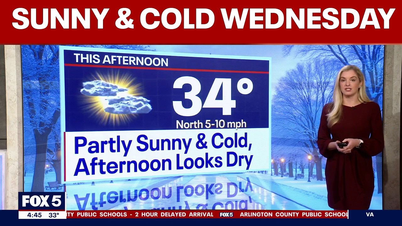
A sunny and cold Wednesday with high temperatures near 34 degrees.
WASHINGTON - The snow threat moved out of the Washington, D.C. region early Wednesday, leaving temperatures in the 30s and a few slick spots for the morning commute.
What we know:
Afternoon highs will hover near 33 degrees under partly sunny skies. While it’s still cold, morning temperatures aren’t as bitter as we’ve seen over the past couple of weeks.
FOX 5’s Taylor Grenda says some melting continued overnight in areas that stayed above freezing, which means drivers may encounter wet pavement and isolated icy patches.
Wind chills have dipped into the 20s, but the overnight snow threat is essentially over.
READ MORE: School closings, delays in DC, Maryland, Virginia for Wednesday, February 4
A few flurries are possible Wednesday night, with lows dropping into the 20s.
Thursday looks dry and chilly, with temperatures once again near the freezing mark.
The next chance for snow arrives on Friday. Early models show only a small window for light snow showers, possibly just a coating in a few spots, from mid to late afternoon into the evening before the system moves out. At this point, impacts appear minimal, Grenda says.
What's next:
The weekend turns drier but much colder. FOX 5's Tucker Barnes says Arctic air will drop highs back into the 20s, with morning temperatures in the teens. Very blustery winds are expected, Barnes added, and wind and cold advisories are likely. We’ll slowly climb out of the cold next week, and by late week, temperatures could move toward 50 degrees.
The Source: Information in this article comes from the FOX 5 Weather Team and the National Weather Service.