

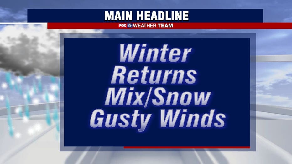
Winter weather blast moves across DC region Saturday; temperatures in the teens expected Sunday morning

FOX 5 Weather forecast for Saturday, March 12
Gwen Tolbart has your FOX 5 Weather forecast for Saturday, March 12
WASHINGTON - The D.C. region is getting an unwelcome dose of winter Saturday, a day after high temperatures were in the 60s.
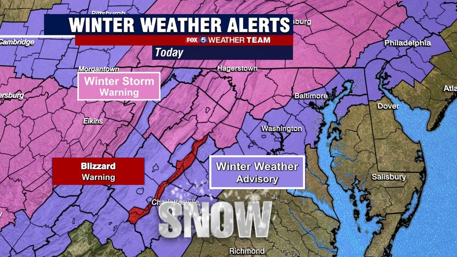
Rain arrived during the overnight hours, and a cold front is approaching from the west. Temperatures will fall during the morning hours, with rain flipping to snow in the D.C. area. There's a better chance of an earlier changeover farther north and west, resulting in greater accumulations. South and east may see only a quick garnish of snowfall on grassy surfaces before precipitation fully winds down.
Download the FOX 5 Weather App
Expect a general 1 to 2 inches in the D.C. area, though probably not much on the roads. With warm ground temperatures and a high sun angle, we have a lot working against us that won't foster accumulation. A couple 3 to 4 inch totals are likely in the Potomac Highlands and higher terrain north and west, especially near the Mason-Dixon Line.
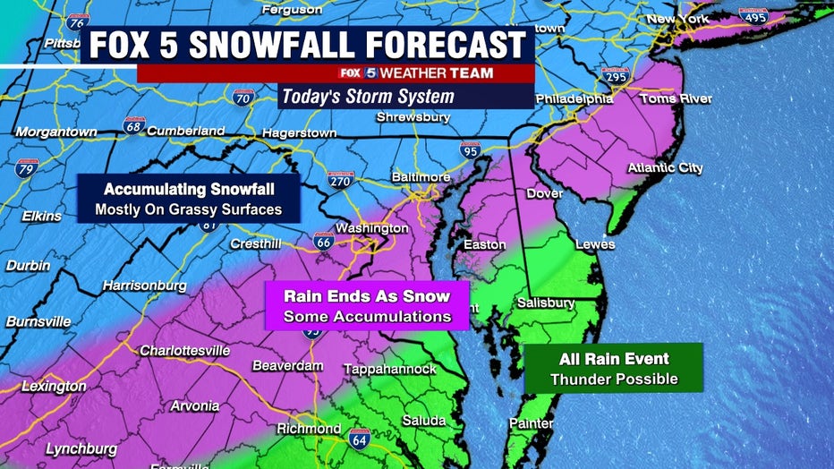
Downpours and maybe even a rumble of thunder are possible in St. Mary's and Calvert Counties thanks to elevated "instability," or "juice" at the mid-levels. It'll still be chilly near the surface.
Winds will pick up out of the west-northwest behind the front, with gusts to 40 mph in the lowlands and nearing 50 mph in the Blue Ridge.
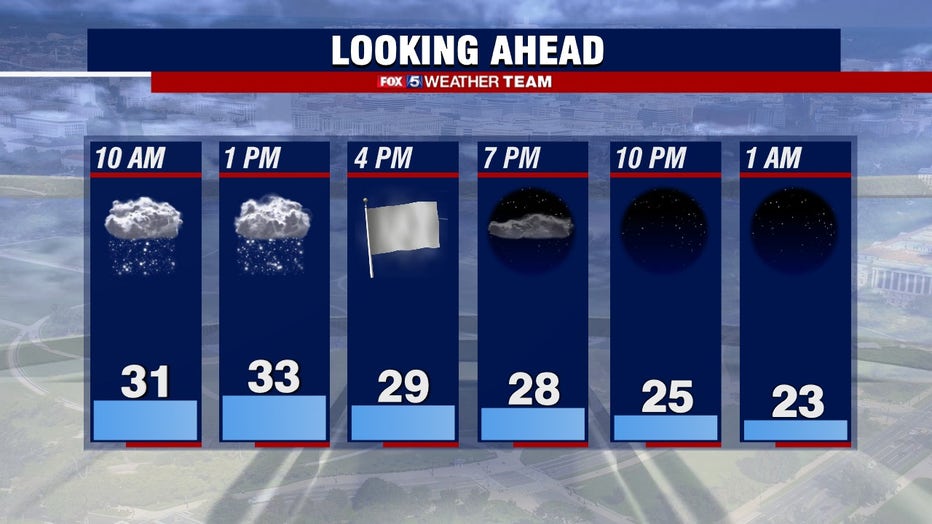
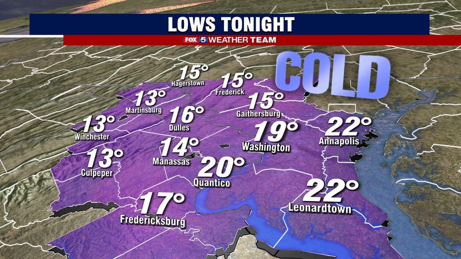
That'll bring in much cooler temperatures, with 20s overnight Saturday night into early Sunday morning.

Stay with FOX 5 on the app and online for weather updates:
Get the latest FOX 5 forecast here.
Check the latest Closings and Delays
Download the FOX 5 DC News App for Local Breaking News and Weather
Download the FOX 5 Weather App
Check the latest weather radars
Stay up to date with the FOX 5 Weather Team on Twitter: