

DC weather: Mild temperatures move in Tuesday; weekend wintry mix possible
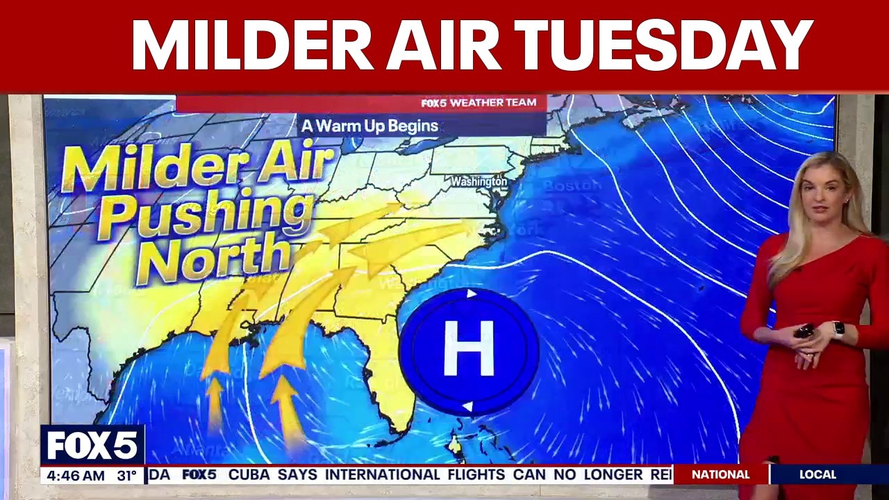
Mild air moves in Tuesday with highs in the mid‑40s.
Partly sunny skies with milder temperatures around the mid-40s on Tuesday.
WASHINGTON - Milder air moves into the Washington, D.C. region Tuesday as we keep an eye on a potential wintry mix that could bring rain and snow to the area this weekend.
What we know:
Tuesday starts cold and cloudy, but highs in the mid‑40s by the afternoon should help melt some of the stubborn snow and ice left behind from last month’s storm. A few flurries may pop up, though most won’t reach the ground. The milder temperatures will feel like a break after the recent stretch of bitter cold.
Temperatures fall back to around freezing Tuesday night. On Wednesday, highs climb into the mid‑40s again, with a light breeze helping to dry out any melting snow. The rest of the workweek stays dry, though Thursday may briefly dip a bit cooler.
What's next:
The next system arrives over the weekend. The main timeline looks to be Sunday, with precipitation moving in during the morning and lasting through the afternoon. It could start as a brief wintry mix before transitioning to rain as temperatures rise. Grenda says this does not look like a repeat of the more significant winter weather from two weeks ago, but some mixed precipitation is possible.
Highs remain in the 40s throughout the week. Valentine’s Day looks sunny and dry, with temperatures in the upper 40s before Sunday’s system moves in.
The Source: Information in this article comes from the FOX 5 Weather Team and the National Weather Service.