

Isolated severe storms, tornado possible Monday across DC region
FOX 5 Weather forecast for Monday, August 14
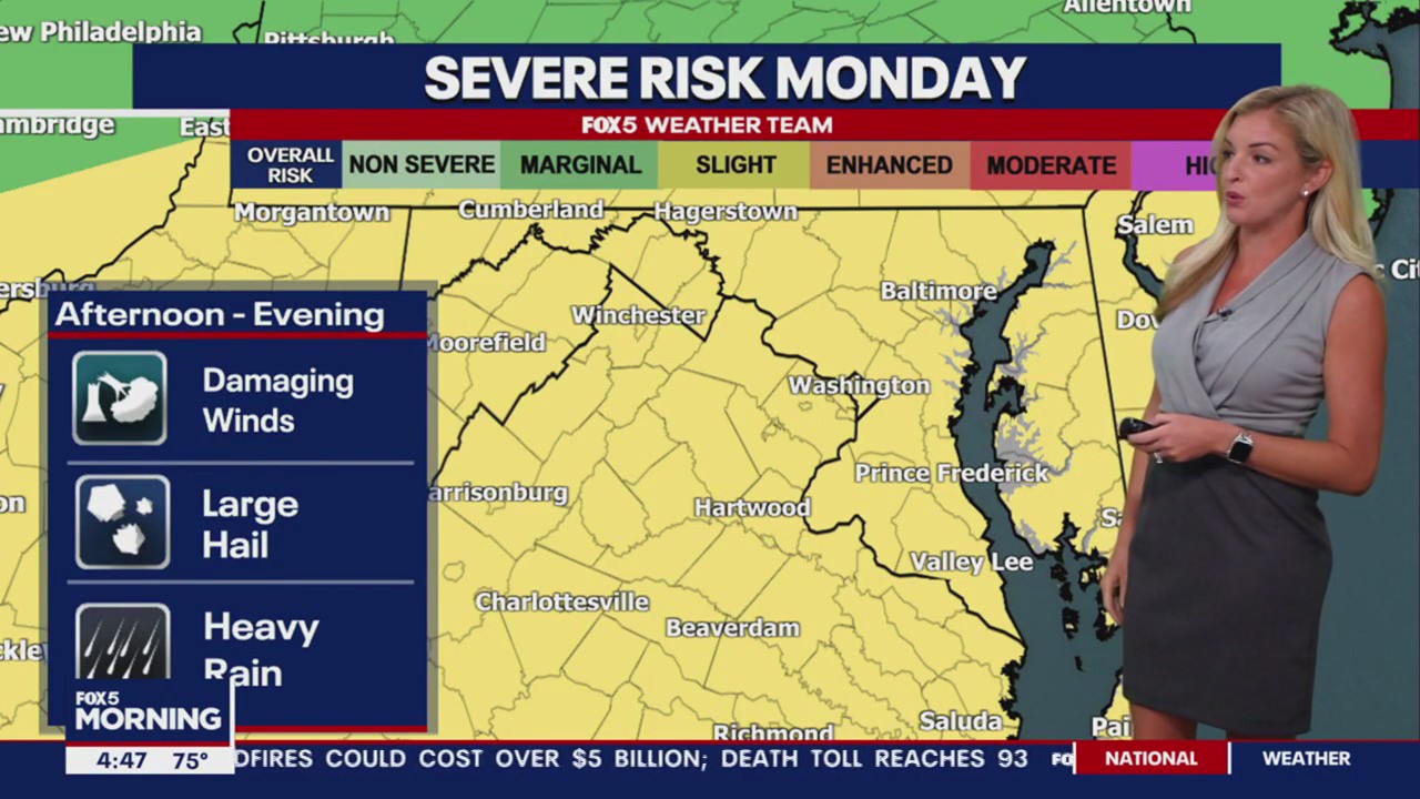
Taylor Grenda has the FOX 5 Weather forecast for Monday, August 14
WASHINGTON - Monday's forecast calls for a few afternoon or evening thunderstorms, a couple of which could be strong to severe. Meteorologists are also tracking the low-end risk of an isolated tornado across the FOX5DC viewing area.
- Timing: 5 p.m. to 10 p.m.
- Hazards: heavy rainfall, gusty to locally damaging straight-line winds, low-end risk of isolated tornado
- Areas affected: entire DMV, especially northern
Thunderstorms will develop during the late afternoon beneath an approaching upper-air disturbance exiting the Midwest. Warmth and moisture swirling north ahead the low will provide ample juice for a few tall storm cells. Winds increase in speed with height, and storms will tap into that. A few might mix strong gusts to the surface.
For most regions to our west, winds don't change direction much with altitude. While storms will be prone to rotation, most will be structured as line segments or squalls with a localized damaging straight-like wind risk.
Across the DMV, however, a warm front lifting north will impart additional low-level helicity, or twist, on storms. That may be enough to brew an isolated tornado or rotating supercell thunderstorm during the 4 p.m. to 9 p.m. window.
The warm front looks to stall north of D.C., placing the greatest risk for severe weather between the nation's capital and southern Pennsylvania.
There are mixed signals regarding whether or not the severe weather risk will materialize. Some weather models suggest storms might hold off until around sunset, at which point the loss of daytime heating would reduce how much "juice" is available for storms to work with. But there will be an uptick in the low level jet stream, or a river of winds about a mile above the ground, which could offset the loss of heating. Storms may also draw upon additional moisture and a subtle easterly component to surface winds off the Chesapeake, which would again bolster low-level spin.
Things should wind down between 9 p.m. and midnight.
Storms may also produce brief torrential rainfall, leading to isolated pockets of urban flooding. Garrett County, Maryland could see a greater amount of rainfall thanks to moist air being forced up the mountains. That would lend itself to a slightly higher chance of isolated flooding along the Interstate 68 corridor.
Mike and Caitlin will be tracking storms all evening on air and online. You can always receive weather alerts with the FOX5DC mobile app.