

Snow possible for DC area Tuesday, winter storm watches issued

Snow, sleet and some sunshine in the week ahead
Expect chilly temperatures, snow and some sun in the week ahead.
WASHINGTON - A storm system that models show could hit our area as early as Tuesday morning has the potential to bring up to 6 inches of snow to parts of the D.C. area.
Winter storm watches in effect
What we know:
Winter storm watches are in effect starting Tuesday at 1:00 p.m. until Wednesday morning at 7:00 a.m. for Arlington/Falls Church/Alexandria, Stafford County, Fairfax County, Warren County, Northern Fauquier County, Anne Arundel County, Central and Southeast Montgomery County, Prince George's County, Northwest Montgomery County, Charles County, District of Columbia, Berkeley County.
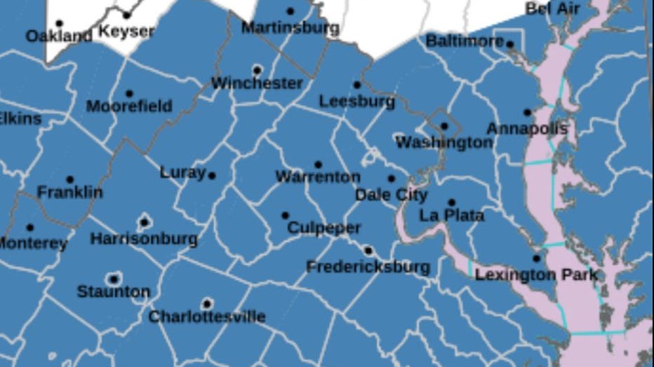
A winter storm watch for Montgomery County from Tuesday at 4:00 a.m. until Wednesday at 4:00 p.m.
Dorchester County is under a winter storm watch from Tuesday at 1:00 p.m. to Wednesday at 10:00 a.m.
Snow in DC this week?
Timeline:
Sunday brings a much quieter end to the weekend with some early morning clouds that will give way to some sunshine. Winds are chilly and gusty from the Northwest, gusting up to 30mph, according to FOX 5 Meteorologist Gwen Tolbart. Highs are in the mid to upper 40s.
Monday starts the week with sunshine and light winds. Highs on Monday will be in the mid 40s. Tolbart says to expect clouds to move later in the day and evening ahead of the next storm system.
Tuesday morning could see significant wintry precipitation into the evening.
"All the elements would be in place to support a significant winter event," says Tolbart. "The Low-pressure system would tap into moisture from the Gulf of Mexico on its journey and the Mid Atlantic has enough cold air aloft in place to support snow."
That snow could linger into the first part of Wednesday and then exit by afternoon.
By Wednesday night, a second weather system will bring a wintry mix or freezing rain that will change to just rain as temperatures rise into the 50s.
How much snow could the D.C. area see?
By the numbers:
Three to five inches of snow is possible through Tuesday night, with locally higher amounts to around six inches, according to Tolbart. The storm would have the potential to produce mainly significant heavy, wet, plowable snow. Some sleet and freezing rain could mix in along the Southern counties where there would be warmer air.
However, the storm system has yet to develop – the FOX 5 Weather Team will continue to monitor.
The Source: This story includes reporting from FOX 5 Meteorologist Gwen Tolbart.