Hawaii keeps watch on Hurricane Kiko with models showing near miss

General views of the Honolulu skyline and downtown area on July 05, 2025 in Honolulu, Hawaii. (Photo by AaronP/Bauer-Griffin/GC Images)
In Hawaii, eyes are on Hurricane Kiko, but some models suggest it will be a near miss.
Hurricane Kiko intensified with maximum sustained winds of 105 mph as it traveled west over open waters about 1,740 miles east of Hilo, Hawaii, the hurricane center said.
Dig deeper:
Kiko was a Category 2 hurricane on the Saffir-Simpson Hurricane Wind Scale, which ranges from 1 to 5. Cyclones that are Category 3 or higher are considered "major" hurricanes.
Why you should care:
No watches or warnings were associated with Kiko, and there were no hazards affecting land, forecasters said. Steady strengthening was expected during the next couple of days, and Kiko could be a major hurricane by Wednesday.

Hurricane Katrina: 20 Years later
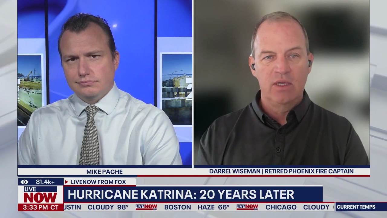
Twenty years after Hurricane Katrina, LiveNOW's anchor Mike Pache interviews retired Phoenix fire captain Darrel Wiseman to discuss what it means to those who were helping out during the deadly storm.
Forecast models suggest that the cyclone will make its closest approach to Hawaii late next week, but the exact impacts, whether it is an increase in shower activity or heightened waves, remains to be determined, according to FOX Weather.
Big picture view:
According to the outlet, NWS forecasters in Honolulu noted that cyclones often weaken as they approach the islands due to cooler waters and wind shear.
The Source: The Associated Press and FOX Weather contributed to this report. The information in this story comes from the National Hurricane Center. This story was reported from Los Angeles.

