DC Weather: Humidity creeps back as Tropical Depression Chantal makes landfall in the Carolinas
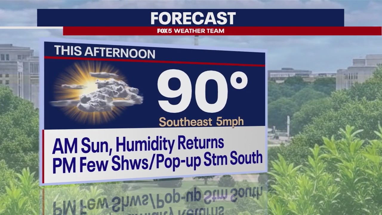
WASHINGTON - Sunday is mostly sunny with some clouds, building in the later part of the day into early evening. Clouds will be due to the moisture streaming in from Tropical Depression Chantal.
Humidity begins to build back in Sunday and will continue and increase each day ahead into the week. Highs today are in the lower 90s but will feel like the middle to upper 90s.
What's next:
Each and every day in the week ahead there is a chance of rain/showers and thunderstorms.
Tuesday the Heat Index is forecast to be 102F as humidity increases.
Thursday, stay alert, with a chance for severe weather on the way.
Chantal downgraded from Tropical Storm to Tropical Depression
The center of the storm is moving inland over southeast South Carolina and is near the South Carolina/North Carolina border. Northeastern South Carolina and Eastern North Carolina are at a risk of Flash Flooding from the rainbands that are moving inland from Chantal and tornadoes are possible Sunday.
Tropical Storm Warnings and Watches have been discontinued.
The storm is on track to take a turn to the northeast over the next 24 hours and exit off the coast by Tuesday. The primary threat from Chantal will be heavy rainfall that is likely across portions of eastern and central North Carolina into Monday. The bulk of the precipitation will stay south of the D.C. area.
Chantal is expected to produce heavy rainfall across portions of northeastern South Carolina today and across portions of North Carolina through Monday. Storm total rainfall of two to four inches, with local amounts up to six inches, is expected. This would result in an elevated risk of flash flooding.


