

Calm, cloudy and cold Wednesday with highs in the 30s; snow, wintry mix for DC region Thursday
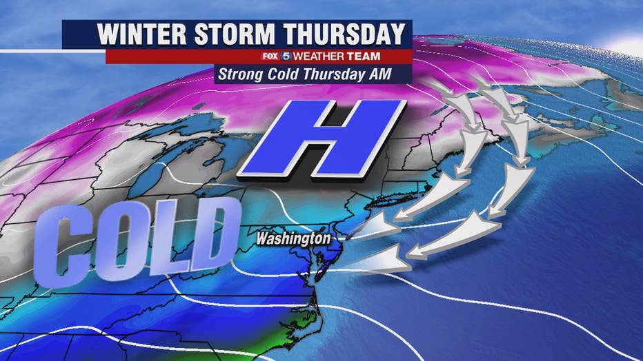
WASHINGTON - It's a very cold but bright morning as we are in the 'calm before the storm.' FOX 5's Sue Palka says use Wednesday to prepare so you can stay off the road Thursday if possible. We're expecting a 24 hour plus wallop of snow and ice to get started late tonight.
Download the FOX 5 Weather App

FOX 5 Weather forecast for Wednesday, February 17
Mike Thomas has the FOX 5 Weather forecast for Wednesday, February 17.
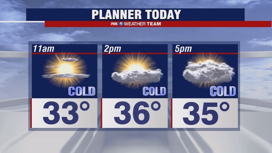
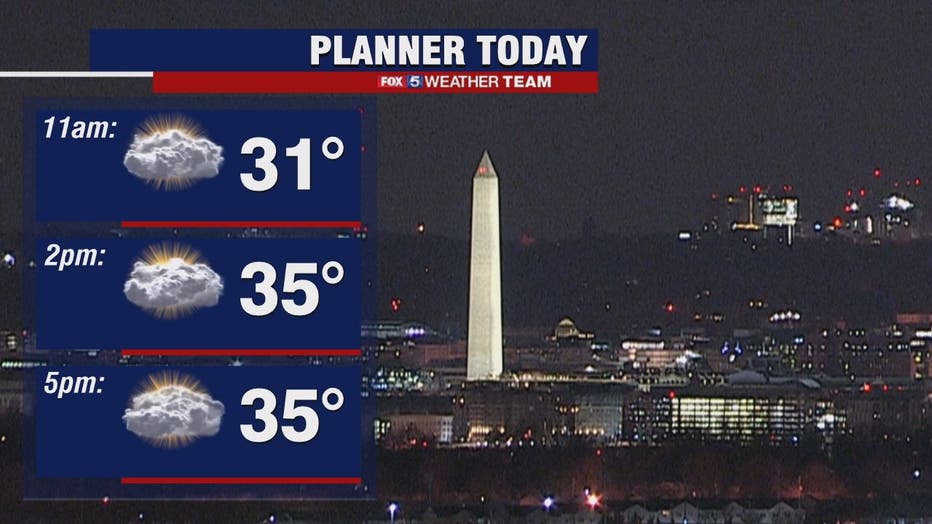
Temperatures this morning are in the 20s and will only rise to the mid-30s this afternoon.
Clouds will increase this evening and it's possible that we may see our first flurries later Wednesday. The more significant snow is expected to begin in earnest after midnight and continue into Thursday morning when a few inches could accumulate before sunrise.
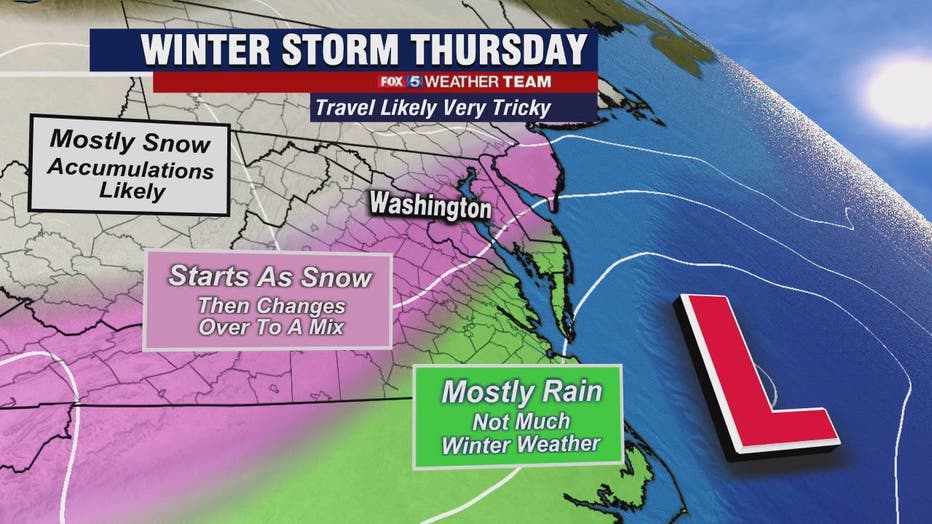
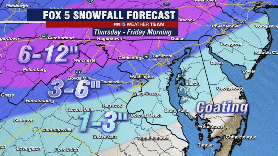
This storm looks to mix with sleet or freezing rain by Thursday afternoon and through the evening along and west of the Interstate 95 corridor.
That means there could be 3 to 6 inches of snow with some ice accumulation on top in those areas. Where you don't see mixing in our colder northwest counties, we are forecasting 6 to 8 plus inches of snow.
Everything should wrap up by Friday midday although some freezing drizzle could linger. A sunny but cold weekend awaits!
Stay with FOX 5 on the app and online for weather updates:
Get the latest FOX 5 forecast here.
Check the latest Closings and Delays
Download the FOX 5 DC News App for Local Breaking News and Weather
Download the FOX 5 Weather App
Check the latest weather radars
Stay up to date with the FOX 5 Weather Team on Twitter: