

Hurricane Isaias could bring a wet, windy Sunday to DC, Maryland and Virginia
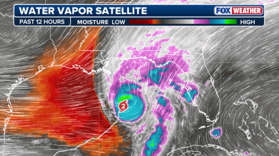
WASHINGTON, D.C. - Hurricane Isaias is on track to make landfall along the Gulf Coast before its remnants bring a wet and, in some places, stormy end to the weekend across the Mid-Atlantic and Northeast.
The system will no longer be a hurricane when it reaches the region. Still, its moisture is expected to combine with another weather system, bringing rain from the DMV through Philadelphia, New Jersey, Delaware and the New York City area.
What changed in Friday’s forecast
What we know:
Forecast confidence has increased that rain will affect the region, but the timing and most significant impacts will vary.
In the Philadelphia area, southern New Jersey and Delaware, the National Weather Service now says locally heavy rain, a few thunderstorms and isolated flooding are possible Sunday into Sunday night. Some thunderstorms could become severe, with damaging winds and an isolated tornado the primary concerns.
In the New York City area and northern New Jersey, rain is expected to begin late Sunday morning or early afternoon and continue into Monday. The most likely impacts are minor urban and poor-drainage flooding.
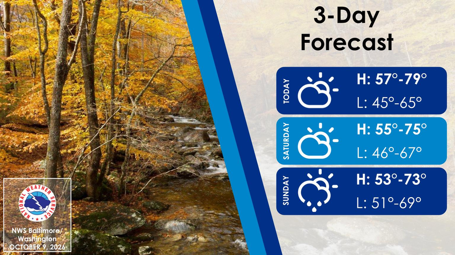
In Washington, D.C., Maryland and Virginia, periods of rain could begin as early as Saturday evening and continue through Sunday night. Breezy conditions are expected Sunday, with the strongest gusts in the mountains.
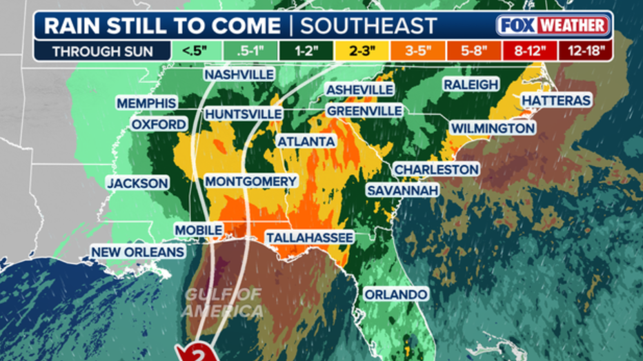
How much rain is possible?
What they're saying:
Philadelphia, New Jersey and Delaware could receive 1 to 2 inches of rain, with amounts above 2 inches possible. The best chance for higher totals is currently in southern New Jersey and the Delmarva.
The forecast for New York City, Long Island and northeastern New Jersey calls for about an inch of rain, though 1 to 2 inches cannot be ruled out in a higher-end scenario.
Across the DMV, forecasters expect 1 to 2 inches of rain, with locally higher totals possible depending on where heavier bands develop.
The Weather Prediction Center has placed parts of the region under a marginal risk for excessive rainfall, meaning isolated flooding is possible.
Wind and coastal concerns
Why you should care:
Gusty winds are possible across the region Sunday. In the DMV, gusts could reach 20 to 30 mph outside the mountains, with 30 to 40 mph gusts possible in the Alleghenies.
Along the New York and New Jersey coast, south to southeast winds could briefly reach 25 to 35 mph Sunday night. In the Philadelphia region, advisory-level marine conditions are possible Sunday into Monday.
Minor coastal flooding is possible during high tide Sunday and Monday, particularly in sensitive coastal locations. No tropical watches or warnings are in effect for the Northeast or Mid-Atlantic.
NFL games in the Northeast
Football fans heading to the Browns-Jets game in New Jersey or the Giants-Commanders game in the Washington area could be dealing with rain Sunday. Both games are scheduled for 1 p.m. ET.
The Eagles play the Jaguars in London, so the Northeast forecast will not affect that matchup.
The Source: This article was written using information from FOX Weather, the National Hurricane Center and the National Weather Service in Mount Holly, New Jersey.