

Tracking the nor'easter: Coastal flooding, high winds threaten East Coast this week
DC weather: Cool, breezy, showers to start fall Tuesday
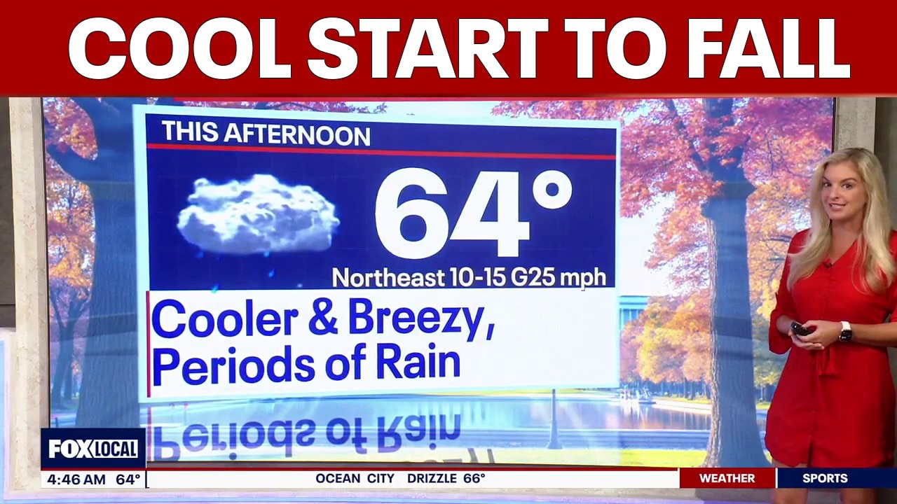
A cool and breezy start to fall in the Washington, D.C. region with patchy fog, showers and highs in the low 60s.
An unusually early fall nor'easter is brewing off the Atlantic coast this week, threatening millions along the East Coast with heavy rain, powerful winds, and dangerous coastal flooding.
What we know:
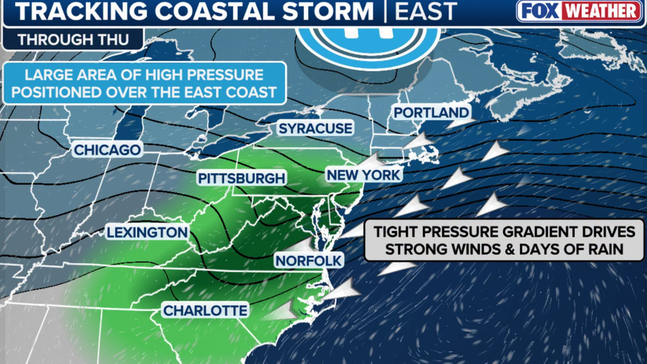
As a strong high-pressure system sets up near the Great Lakes, a low-pressure system is moving north along the Eastern Seaboard. The clash between these two systems is generating a powerful onshore flow that is expected to hit the coast through the weekend.
Coastal flood advisories are already in effect from South Jersey to Virginia, with major coastal flooding expected to begin Wednesday night as the nor'easter begins to form.
Featured
What is a nor'easter? How they form and what to expect
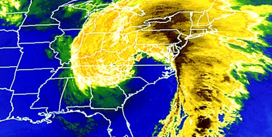
Despite popular belief, snow is not a requirement for a nor'easter. Here's how the East Coast's biggest storms form.
Northeast impacts
Timeline:
Here is how the developing nor'easter will impact the Washington D.C., Philadelphia, and New York City areas over the coming days.
New York City
While the Mid-Atlantic takes the brunt of the storm during the workweek, New York City and Long Island are bracing for a potentially severe weekend. By Thursday and Friday, the surface low will emerge off the coast and begin to rapidly strengthen.
The severity of the storm for the five boroughs and Long Island entirely depends on its final track:
- The European Model brings the low closer to the shore as a stronger storm. If the storm shifts closer to New Jersey, NYC will be directly in the path for heavy rain, 50 mph wind gusts, and major storm surge.
- The GFS Model keeps the low farther out to sea. If this happens, New York City will largely remain on the outskirts of the storm, experiencing breezy conditions and some rain, but avoiding the worst of the flooding.
Regardless of the final track, forecasts agree that persistent waves and high astronomical tides will cause significant dune damage and structural flooding along Long Island and Queens coastlines.
Washington D.C. and the Chesapeake Bay
For the D.C. area, the primary threat isn't just rain, it's the water pushing inland. A Coastal Flood Advisory is already in effect, with conditions expected to deteriorate significantly by late Wednesday.
Strong northeast winds are acting like a wall, preventing water from draining out of the lower Chesapeake Bay and back bays during low tide. Because the water is effectively trapped, each consecutive high-tide cycle will stack the water higher, leading to widespread coastal flooding. The Norfolk area and the broader lower Chesapeake Bay region are at high risk for impassable coastal roadways.

Philadelphia and the Jersey Shore
In Philadelphia, the National Weather Service is forecasting a damp, breezy week with scattered showers and persistent northeast wind gusts reaching up to 20 mph. However, the most severe impacts for the region will be felt along the Delaware beaches and Jersey Shore.
Meteorologists warn that multiple days of onshore flow will gradually pile water into the back bays of the Jersey Shore. Wind gusts of 40 to 50 mph along the immediate coast will push ocean water inland, causing moderate to severe tidal flooding, while 15 to 18-foot offshore waves will lead to significant beach erosion and dune scarping.
If you commute from or have property down the shore, prepare for road closures and elevated tides through at least Friday.
The Source: Information from this article was sourced from FOX Weather, the Weather Channel and the National Weather Service.