

3 tornadoes touched down in Maryland during Tuesday’s storms: NWS
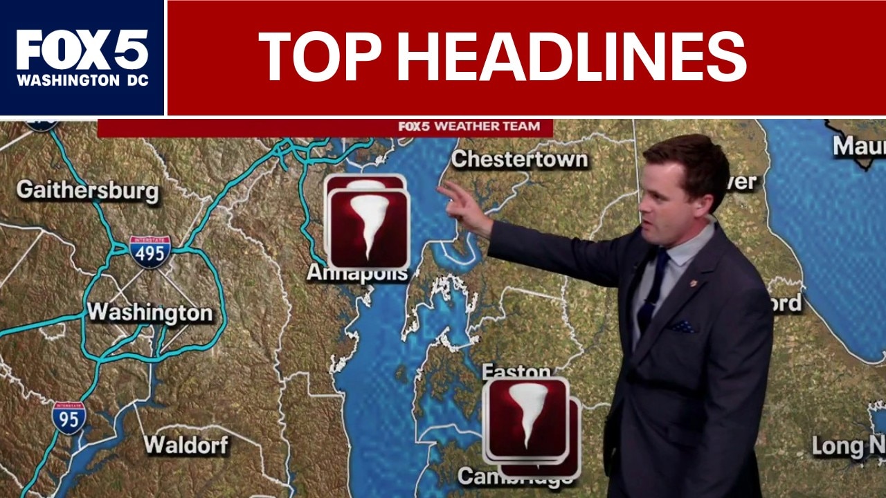
3 tornadoes confirmed in Maryland; ACLU suing National Guard for alleged assault on veteran
Three tornadoes touched down in Maryland during severe weather Tuesday; the ACLU is suing the National Guard for an alleged assault on a veteran and other top headlines in the DMV.
TALBOT COUNTY, Md. - At least three tornadoes touched down in Maryland Tuesday as severe storms rolled through the region, the National Weather Service (NWS) confirmed.
What we know:
A tornado was confirmed near Trappe in Talbot County, which was under a tornado warning around 6:15 p.m. Tuesday. During that time, the NWS noted there were several reports of funnel clouds and a possible tornado crossing Route 50.
The NWS categorized the tornado as an EF-1, with estimated winds of 100 mph.
Video posted online appears to show the tornado visible from a resident's backyard.
The NWS also confirmed that two tornadoes touched down in Anne Arundel County Tuesday night; one around 6:15 p.m., and another around 6:17 p.m.
The first tornado, categorized as an EF-1, touched down in Lake Shore near Patapsco Road for about three-quarters of a mile for about two minutes. The tornado had an estimated path width of 160 yards and max winds of 100 mph.
The second tornado, reported along Lake Drive in the Cape Saint Claire area, touched down for about a minute. While the NWS did not give the tornado an EF rating, officials said significant tree damage was noted, and the garage door of a home was blown in.
Dig deeper:
Tuesday's storms left a trail of destruction across the region, knocking down trees, damaging homes and leaving thousands without power.

Cleanup continues after storm system slams parts of DC, Maryland and Virginia
Thousands of customers remain without power Wednesday morning after storms ripped through the Washington, D.C. region on Tuesday, knocking down trees, damaging homes and causing other issues across the area.
In Bethesda, a gas station canopy came crashing down, trapping a white van underneath. A woman says she is counting her blessings after a tree crashed into her Gaithersburg home Tuesday evening while she was inside.
The Source: Information from this article was sourced from the National Weather Service and reporting by FOX 5.